

ANAHEIM, Calif. (March 15, 2022) — The City Council Tuesday officially adopted a final map for Anaheim’s updated council districts, following months of public input and discussion.
The City Council voted to introduce the ordinance adopting the final map on March 1 and completed a second reading on March 15. The new districts will go into effect after 30 days, on April 14.
Anaheim began the redistricting process in July 2021 and has hosted dozen
s of community meetings and public hearings in the past nine months. Anaheim residents also submitted suggested district maps and comments on map proposals via email and online at AnaheimRedistricting.org.
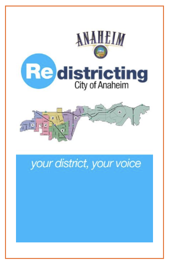
Ultimately, the council considered six focus maps submitted by the public and the city’s demographer. Following discussions and public comments Tuesday, the City Council selected the map numbered 114.
The new map implements changes to Districts 2, 3, 4, and 5 based on the 2020 Census and public input on communities of interest.
- District 2 expands to the south below Cerritos Avenue and to the east to 9th Street to include the area around Stoddard Park.
- District 3 expands to the west from Euclid Street to Brookhurst Street, encompassing the neighborhoods above La Palma Avenue around John Marshall Park.
- District 4 expands to the east to include some of the newer Platinum Triangle apartment communities andto the north to include neighborhoods around Ross Park.
- The new district map does not include any changes to District 1 or District 6.
You can view an interactive version of the map here.
Anaheim first adopted a district-based election system in 2016, with districts based on the 2010 Census. The city must complete a redistricting process every 10 years.
For more information, visit AnaheimRedistricting.org.